Description
Rob's Passage Planner
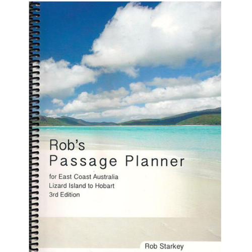
Part of the challenge for the recreational cruising sailor and delivery crews, is the amount of research required to undertake a passage, whether it be a day sail or a six month sojourn. Rob’s Passage Planner, now in its 3rd Edition with an expanded scope and content addresses the information challenge of sailing the East Coast of Australia, from Lizard Island in North Queensland to Hobart Tasmania.
It is not a Pilot; rather it complements the many excellent Pilots for this region by bringing together information such as State regulatory and safety requirements, weather sources and trends, communications, seamanship information, incident management and health care.
At its core, is a set of 10 chartlets in 3 variants, plus a set of marina maps. Passage scenario chartlets detail rhumb line distances for the likely passages between anchorages with a passage time calculator.
Lights chartlets show the major coastal lights, plotted at their location, showing visible distances and light characteristics.
VHF Repeater chartlets detail the location of VHF repeater stations with maximum and minimum transmission distances.
Marina maps covering the major marinas along the coast are presented in a standard format, detailing contact information, arrival point, entry, berth configuration and available services.
This Planner will enable you not only to manage your passages with greater ease because you have the information at your fingertips, it will also allow you to change your plan, when conditions demand it, with greater speed and efficiency.
The Planner has been many years in the making. its greatest value will be not only in the wealth of material that it provides to complement the existing pilots and cruising guides, but in the reliability of the highly detailed information.


