

Description
Port of Bundaberg to North Reef – Laminated Marine Navigation Chart MC612L
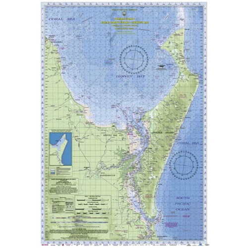
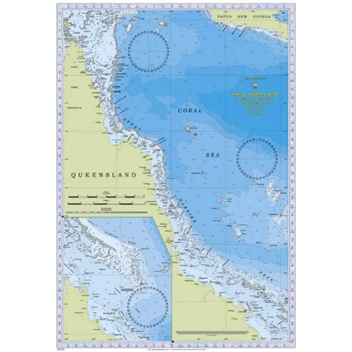
The Camtas MC612L Port of Bundaberg to North Reef is the laminated version of the MC612 marine navigation chart. Designed for boating, fishing and marine navigation, it combines detailed navigation information with clear depictions of coastal and marine features.
The durable laminated finish makes the MC612L better suited to use around boats and other environments where protection from moisture and handling is important.
At 420 x 594mm, it is a convenient size for use on board, at home or while planning boating and fishing trips.
Key Features:
- Laminated version of the Camtas MC612 chart
- Water contours shown in progressively darker shades of blue as depth increases
- Land contours shown in progressively darker shades as elevation increases
- Natural features including reefs, mangroves, sand types and mud flats clearly depicted
- Grid reference system for identifying positions
- Marine emergency, search and rescue contact details included
- Navigation symbols clearly explained on the chart
- Includes names, heights, depths, seabed information, GPS marks, obstructions and navigation tracks
- WGS1984 datum allows satellite positions to be plotted directly onto the chart
- No fishing zones and officially declared Smooth, Partially Smooth and Open Waters zones clearly indicated
- Local fishing and diving information included
- Local common names and information from satellite imagery incorporated at time of publication
- Durable laminated finish for added protection
- Useful for boating, fishing, navigation, trip planning and general reference
Specifications:
- Chart: Port of Bundaberg to North Reef
- Publication: Camtas
- Chart Number: MC612L
- Version: Laminated
- Paper Version: MC612
- Size: 420 x 594mm
- Product Type: Boating, Fishing & Marine Navigation Chart
- Datum: WGS1984